 Translate
Phu Kradueng National Park
About Phu Kradueng National Park
Introduction: The Legendary Bell-Shaped Plateau
Situated in Si Bun Rueang and Phu Kradueng Districts of Loei Province in Northeastern Thailand (Isan), Phu Kradueng National Park is one of Thailand's most legendary, celebrated, and physically rewarding trekking destinations. Established in 1962 as Thailand's second official national park, this massive sandstone mountain features a famous flat-topped, bell-shaped plateau rising abruptly to 1,316 meters (4,318 feet) above sea level.
Covering 348 square kilometers, Phu Kradueng is renowned across Thailand as a rite of passage for adventurers, students, and hikers. The summit plateau spans over 60 square kilometers of high-altitude pine savannas, evergreen cloud forests, cascading waterfalls, wild rhododendron groves, and dramatic sandstone cliffs overlooking sea-of-mist mountain valleys.
Key Geographic Features & Iconic Viewpoints
Phu Kradueng's summit plateau offers a vast, flat playground connecting iconic natural landmarks along well-marked walking trails:
1. Pha Mak Ruk & Pha Lom Sak Sunset Cliffs
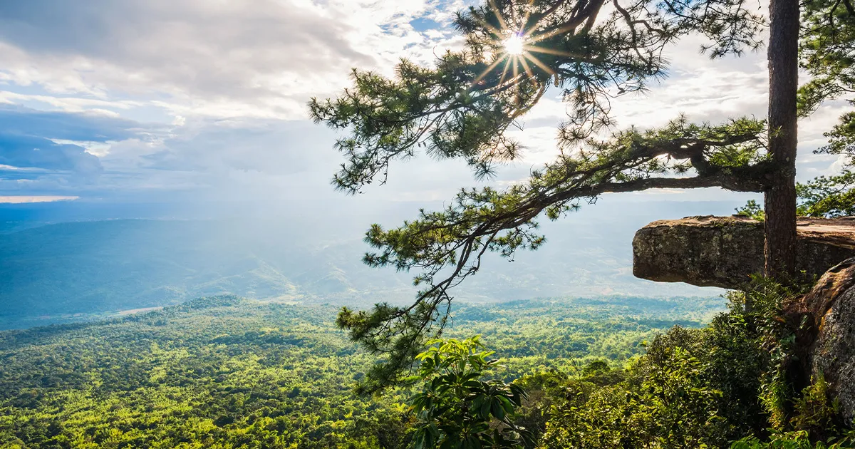
Located on the western edge of the summit plateau. **Pha Lom Sak** is the undisputed symbol of Phu Kradueng—a dramatic flat sandstone ledge extending out over a vertical cliff face with a solitary, bowing pine tree. It is world-famous as Thailand's ultimate mountain sunset spot, where hundreds of hikers gather every evening to watch the sun dip below mountain ridges.
2. Pha Nok Aen Sunrise Cliff
Located on the eastern cliff edge, just a short flat walk from the central park campsite. Hikers gather here in the early morning darkness to watch golden sunrise beams pierce through rolling white seas of fog filling the valleys below.
3. Summit Waterfalls & Red Maple Trails
The interior plateau features a network of peaceful forest streams and waterfalls, including **Pen Bob Waterfall**, **Tham Yai Waterfall**, and **Wang Kwang Waterfall**. During the cool season (December to January), red maple leaves fall across mossy stone stream beds, creating one of Thailand's rare autumn-like landscapes.
4. Anusawari Rock & Anodat Lake
A serene natural freshwater lake surrounded by pine forests and wild grasslands in the center of the plateau, serving as a peaceful resting spot during long day hikes.
Key Highlights & Attraction Summary
- Pha Lom Sak Sunset Cliff: Iconic pine tree ledge offering Thailand's premier mountain sunset view.
- 5.5-Kilometer Mountain Climb: Challenging mountain trail climbing 1,000 vertical meters through distinct forest zones.
- Red Maple Autumn Leaves: Vibrant red maples blooming around Tham Yai waterfall in December and January.
- High-Altitude Pine Savanna: Flat 60-sq-km plateau perfect for mountain biking and long wilderness walks.
How to Reach Phu Kradueng National Park
Phu Kradueng is located in Loei Province, easily reached via bus networks connecting Isan with Bangkok and Chiang Mai.
By Express Bus from Bangkok (Direct Route)
Overnight express buses depart regularly from Bangkok's **Mochit Bus Terminal (Nakhonchai Air / Sunbus)** directly to **Phu Kradueng Bus Stop (Pha Nok Khao)** along Highway 201 (approx. 7 to 8 hours, costing 400–600 THB). From Pha Nok Khao (famously marked by the *Jeb Kim* shop), local red songthaew taxis transport hikers 12 km to the park entrance gates at **Sam Khwang Visitor Center** (approx. 30–50 THB).
By Air via Loei or Khon Kaen Airport
Fly into **Loei Airport (LOE)** or **Khon Kaen Airport (KKC)**, followed by a 1.5 to 2-hour bus or private taxi drive to the national park visitor center.
Best Time to Visit & Seasonal Park Closure
Operational schedules and weather dictate when hikers can tackle the mountain.
Official Open Season (October 1 to May 31)
Phu Kradueng is open to visitors **ONLY from October 1 to May 31**. The cool dry season (**November to February**) brings crisp mountain air (temperatures drop to 5°C–12°C at night, occasionally 0°C in January), clear blue skies, and peak red maple foliage in December.
Monsoon Closure (June 1 to September 30)
The national park is **STRICTLY CLOSED** for four months annually from **June 1 through September 30** to allow the fragile forest ecosystem, wildlife habitats, and trails to recover during monsoon rains.
Top Nearby Destinations
1. Chiang Khan Walking Street (120 km north)
A picturesque, historic wooden town on the banks of the Mekong River facing Laos, famous for night markets and morning alms ceremonies.
2. Phu Ruea National Park (100 km northwest)
A high-altitude, cold-climate mountain park famous for winter flower festivals and frost-covered peaks.
3. Suan Hin Pha Ngam (Thailand's Kunming) (45 km away)
A dramatic limestone karst rock garden featuring ancient stone mazes and hiking trails.
Things to Do at Phu Kradueng
- Tackle the 5.5 km Summit Climb: Hike up steep mountain resting points (*Sam*) including Sam Hae and Sam Krok.
- Watch Sunset at Pha Lom Sak: Walk or rent a mountain bike across the flat plateau to watch sunset at the famous pine cliff.
- Photograph Red Maples at Tham Yai: Capture falling red maple leaves around mossy waterfalls in December/January.
- Rent a Mountain Bike on the Plateau: Cycle along wide pine-forest paths connecting cliffs, lakes, and waterfalls.
Local Food and Culinary Delights
Phu Kradueng features one of Thailand's most surprisingly elaborate mountain summit food scenes!
Must-Try Culinary Specialties
- Summit Moo Krata (Thai Barbecue Dome): The ultimate reward after climbing the mountain! Dozens of summit restaurants serve sizzling hot pork grill pots with fresh broth, glass noodles, and local vegetables around evening campfires.
- Khao Tom & Fresh Coffee at Sunrise: Hot pork rice porridge and freshly brewed coffee served at Pha Nok Aen cliff during morning sunrise trips.
- Isan Kai Yang & Som Tum: Grilled marinated chicken and spicy green papaya salad served at trail rest stops (*Sam*) along the climb up.
Where to Stay: Accommodation Options
All visitors sleep at the central **Wang Kwang Summit Campsite** atop the plateau.
Summit Tents & National Park Cabins ($8 – $40 USD / 250 – 1,400 THB per night)
- The official Department of National Parks (DNP) operates a massive campground at Wang Kwang. Visitors can rent 2-to-4-person tents complete with foam pads, sleeping bags, and pillows, or book multi-bedroom wooden park cabins in advance via the official DNP website.
Budget Travel Guide & Porters (Luk Luang)
- National Park Entrance Fee: Official foreign adult park entry ticket is **400 THB** (200 THB for children) plus a **30 THB** camping permit per night.
- Hire Famous Mountain Porters (Luk Luang): Local porters carry heavy backpacks, suitcases, and gear up the mountain on wooden shoulder poles for **30 THB per kilogram**—an affordable way to enjoy the hike hands-free while supporting the local village economy.
- Mountain Bike Rental: Mountain bikes can be rented atop the summit plateau for roughly **300–400 THB per day** to easily traverse the flat cliff trails.
Sample 2-Day / 1-Night Itinerary
- Day 1 - 07:00 AM: Arrive at Sam Khwang Visitor Center; register, buy park tickets, and weigh gear for porters.
- Day 1 - 07:30 AM: Begin the 5.5 km trek up the mountain, stopping for fresh watermelon and grilled chicken at trail rests.
- Day 1 - 12:00 PM: Conquer **Lang Mae Ann** (the summit edge) and walk the flat 3.5 km pine trail to **Wang Kwang Campsite**.
- Day 1 - 02:30 PM: Rent a bicycle or walk along the western cliff trail to **Pha Lom Sak**.
- Day 1 - 05:30 PM: Watch the sunset over the iconic pine tree ledge at Pha Lom Sak before returning to camp with flashlights.
- Day 1 - 07:30 PM: Enjoy a celebratory **Moo Krata (Thai Barbecue)** dinner at the summit restaurant market.
- Day 2 - 05:00 AM: Walk to **Pha Nok Aen** for sunrise over the sea of mist; enjoy hot rice porridge and coffee.
- Day 2 - 08:30 AM: Hike the waterfall circuit trail to **Tham Yai** to view red maples and forest streams.
- Day 2 - 12:00 PM: Pack up gear, collect bags from porters, and begin the descent back down to the base visitor center.
Essential Rules and Trekking Guidelines
- Daily Trail Entry Hours: The mountain climbing trail opens at **06:00 AM** and strictly closes for new climbers at **01:00 PM** daily for safety reasons.
- Warm Gear Essential: Summit temperatures drop significantly at night (frequently down to 5°C in winter)—bring thermal layers, jackets, and beanies.
- Headlamps / Flashlights Required: Carry a reliable headlamp when walking back from Pha Lom Sak sunset viewpoint (9 km from camp) in the dark.
- Respect Wild Elephants: Wild Asian elephants inhabit the plateau; follow park ranger instructions, stay on marked trails, and never approach wild animals.
Frequently Asked Questions (FAQs)
1. Where is Phu Kradueng National Park located?
Phu Kradueng is located in Phu Kradueng District, Loei Province, Northeastern Thailand (Isan), about 500 km northeast of Bangkok.
2. When is Phu Kradueng open?
It is open to hikers **ONLY from October 1 to May 31** each year. It is closed from June 1 to September 30 for monsoon forest recovery.
3. How hard is the climb up Phu Kradueng?
The climb is moderately challenging—it involves a 5.5 km uphill trail gaining 1,000 vertical meters, followed by a flat 3.5 km walk to the campsite.
4. How much do porters cost?
Local mountain porters carry your heavy bags up the mountain for **30 THB per kilogram**.
5. What is Pha Lom Sak famous for?
Pha Lom Sak is Thailand's most famous mountain sunset viewpoint, featuring a flat rock ledge and a bowing pine tree over a vertical cliff.
6. How much is the national park entry fee?
The entrance fee is **400 THB for foreign adults** (200 THB for children) plus a 30 THB night camping fee.
7. Can you see red maple leaves at Phu Kradueng?
Yes, red maple leaves turn bright red around Tham Yai Waterfall during the cool season in **December and January**.
8. What local food should I eat at the summit?
Summit **Moo Krata** (pork barbecue dome grill), hot rice porridge (*Khao Tom*), and fresh Isan papaya salad.
9. Does it get cold on top of the mountain?
Yes, night temperatures on the plateau drop between 5°C and 12°C during winter months (November to February).
10. Do you need to bring your own tent?
No, you can rent tents, sleeping bags, pillows, and mats directly from the National Park office at the summit base.
Conclusion
Phu Kradueng National Park stands out as Thailand's ultimate mountain trekking rite of passage, where a bell-shaped sandstone plateau, iconic Pha Lom Sak pine tree sunsets, 29,000-year-old wilderness atmosphere, red maple waterfalls, and sizzling summit Moo Krata barbecue converge in Loei Province. From conquering the 5.5 km mountain climb and hiring local porters to cycling across pine-forest plateaus and watching sunrises at Pha Nok Aen, Phu Kradueng delivers an unmissable trekking adventure. Plan your trip between October and May, pack warm clothing, and explore Phu Kradueng National Park!
Photo Gallery
What you'll experience
- 1
Mountain hiking
- 2
Camping
- 3
Waterfall visits
- 4
Sunset viewpoints
Nearby Destinations
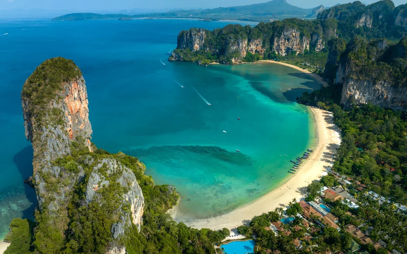
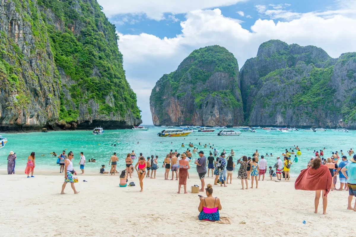
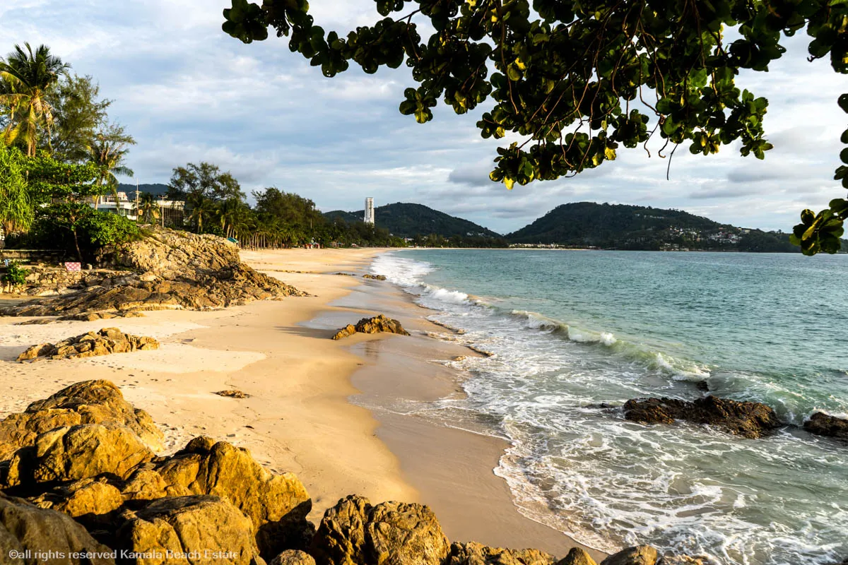
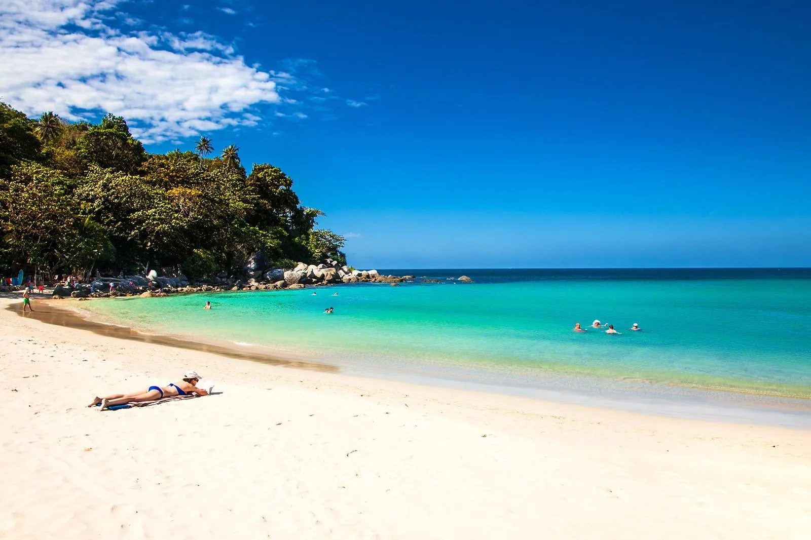
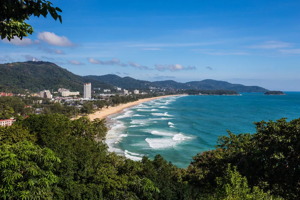
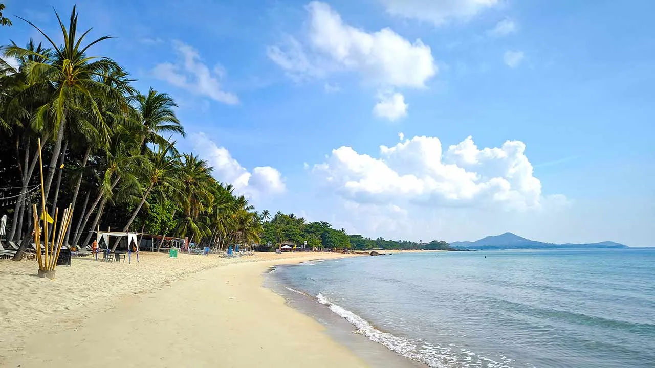
These destinations are in close proximity to Phu Kradueng National Park and can be visited on the same trip.
Visit Information
Opening Hours
Entry Fee
Best Time to Visit
October to February
Location
Loei, Thailand
Contact
For inquiries: N/A
Best Time to Visit
Recommended: October to February
Jan
32°/21°C
peakFeb
33°/22°C
highMar
35°/24°C
highApr
36°/25°C
moderateMay
34°/25°C
lowJun
33°/25°C
lowJul
33°/25°C
lowAug
33°/25°C
lowSep
32°/24°C
lowOct
32°/24°C
moderateNov
31°/23°C
highDec
31°/21°C
peakPhu Kradueng National Park - Frequently Asked Questions
Plan Your Visit to Phu Kradueng National Park
Discover More About Thailand
Plan Your Trip Around Phu Kradueng National Park
Thailand Trip Ideas
Compare Phu Kradueng National Park & Read More
Share this destination:
